MEZZO.EARTH
EN ⌄
/

Another way to live is already here.

Leave the ugly artificial world behind. The one we're building is beautiful and fertile. Join in!

Your world is opening…
You can already search the directory.
Drag to wander. Tap a ray to discover.
Places of possibilityApproximate locations · 4 matching places
The living directoryCURATED EDITION

Paths into a different life

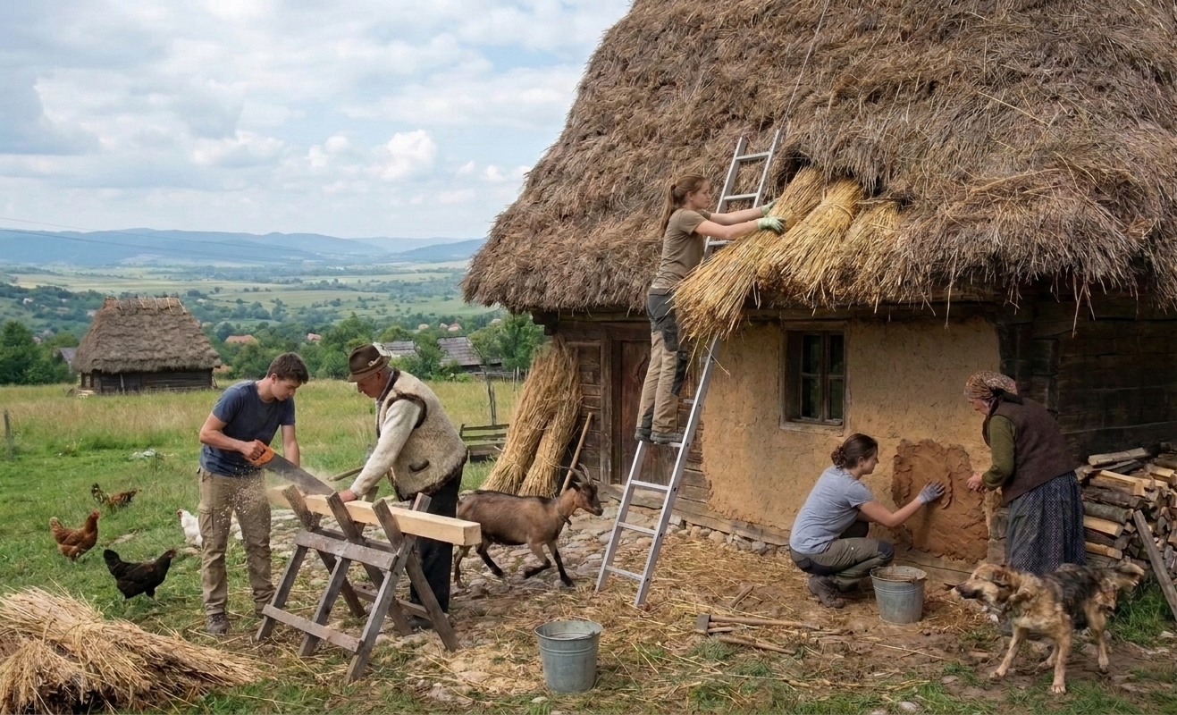
Illustration of younger and older villagers repairing a thatched house together, with animals and fields nearby.
10s of thousands of villages exist beyond our map:

Village life has survived the industrial age.

For two centuries, the rural exodus has drawn generations toward cities. Along the way, we've lost more than our connection to the land. We've weakened the bonds between neighbors, generations, and the knowledge that once held communities together.

Yet village life never disappeared. Away from the headlines, it endured through the quiet determination of those who stayed, cared for the land, and passed on what they knew.

We believe a movement is beginning in the opposite direction: an Urban Exodus. Not to replace what survived, but to join it with gratitude, fresh ideas, and modern tools that make everyday life a little easier.

Our map begins with ecovillages, but thousands of existing villages already preserve much of what we're searching for.

Rural life beyond our catalogue ↗
Another way to live is already here.

A growing collection from diverse sources assessed for accuracy, not a complete census. Every path leads back to its source.

Loading the expanded directory…
Source credits and licences. Download the derived data ↗

MEZZO.EARTH is a project by MEZZOCOSM LLC. Created in 2026. © 2026 MEZZOCOSM LLC.

THE IDEA BEHIND MEZZO

Less searching.
More belonging.

There are many ways to live with the land and with each other. MEZZO.EARTH brings the places, platforms, and movements together so you can find your own starting point.

This edition contains 554 approximate mapped places and 51 unmapped resources. Open data from Living Atlas / Heart of Ecovillages and Wikidata sits alongside selected places discovered through Agartha and Lucky Futures. Coverage is strongest in Europe. Individual private host listings and availability remain on the original platforms. See our sources and coverage.

Map locations are approximate discovery points. Check the original source for current visiting arrangements and details.

The opening globe uses your browser’s time zone as a broad regional estimate, which may differ from your actual location. The location button asks permission to center more accurately; coordinates are rounded to whole degrees, kept in memory for this visit, and never sent to our server. We do not look up or store your IP address for orientation. Bookmarks are on standby; existing bookmarks remain in this browser. The atlas does not require an account. Studio accounts are for the editorial team. The detailed globe uses NASA Blue Marble and progressively loaded Sentinel-2 imagery. Research layers cite their providers and observation dates. Occasional wildlife is decorative and fades after zooming beyond two steps; reduced-motion preferences are respected. Remote map and data providers receive requests when their imagery or layers load.

Explore Terrenity’s full directory ↗
LAND, PEOPLE & EVERYDAY LIFE

The land. The city. The way back.

Two centuries: a brief moment in human history, a profound change in where we live. Follow the rural exodus — then explore a different way back.